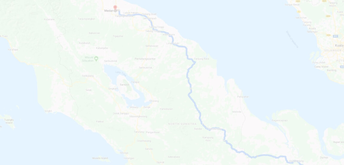
Calculation of distances between cities Red Wing , San Antonio (Teksas). Our Road Map helps you quickly determine the distance between cities, such as distance between cities Red Wing - San Antonio (Teksas).
fuel consumption and trip cost Red Wing - San Antonio (Teksas)
ROAD MAP Red Wing - San Antonio (Teksas)

DRIVER ASSISTANT
- Red Wing — San Antonio (Teksas)

The distance between other cities
- Distance Red Wing - New York City
- Distance Red Wing - Los Angeles
- Distance Red Wing - Chicago
- Distance Red Wing - Brooklyn, New York
- Distance Red Wing - Queens, New York
- Distance Red Wing - Houston, Teksas
- Distance Red Wing - Philadelphia, Pennsylvania
- Distance Red Wing - Manhattan
- Distance Red Wing - Phoenix
- Distance Red Wing - Bronx, New York
- Distance Red Wing - San Diego
- Distance Red Wing - Dallas, Teksas
- Distance Red Wing - San Jose
- Distance Red Wing - Indianapolis, Indiana
- Distance New York City - San Antonio (Teksas)
- Distance Los Angeles - San Antonio (Teksas)
- Distance Chicago - San Antonio (Teksas)
- Distance Brooklyn, New York - San Antonio (Teksas)
- Distance Queens, New York - San Antonio (Teksas)
- Distance Houston, Teksas - San Antonio (Teksas)
- Distance Philadelphia, Pennsylvania - San Antonio (Teksas)
- Distance Manhattan - San Antonio (Teksas)
- Distance Phoenix - San Antonio (Teksas)
- Distance Bronx, New York - San Antonio (Teksas)
- Distance San Diego - San Antonio (Teksas)
- Distance Dallas, Teksas - San Antonio (Teksas)
- Distance San Jose - San Antonio (Teksas)
- Distance Indianapolis, Indiana - San Antonio (Teksas)
